
Blogs
- Aug 03, 2024
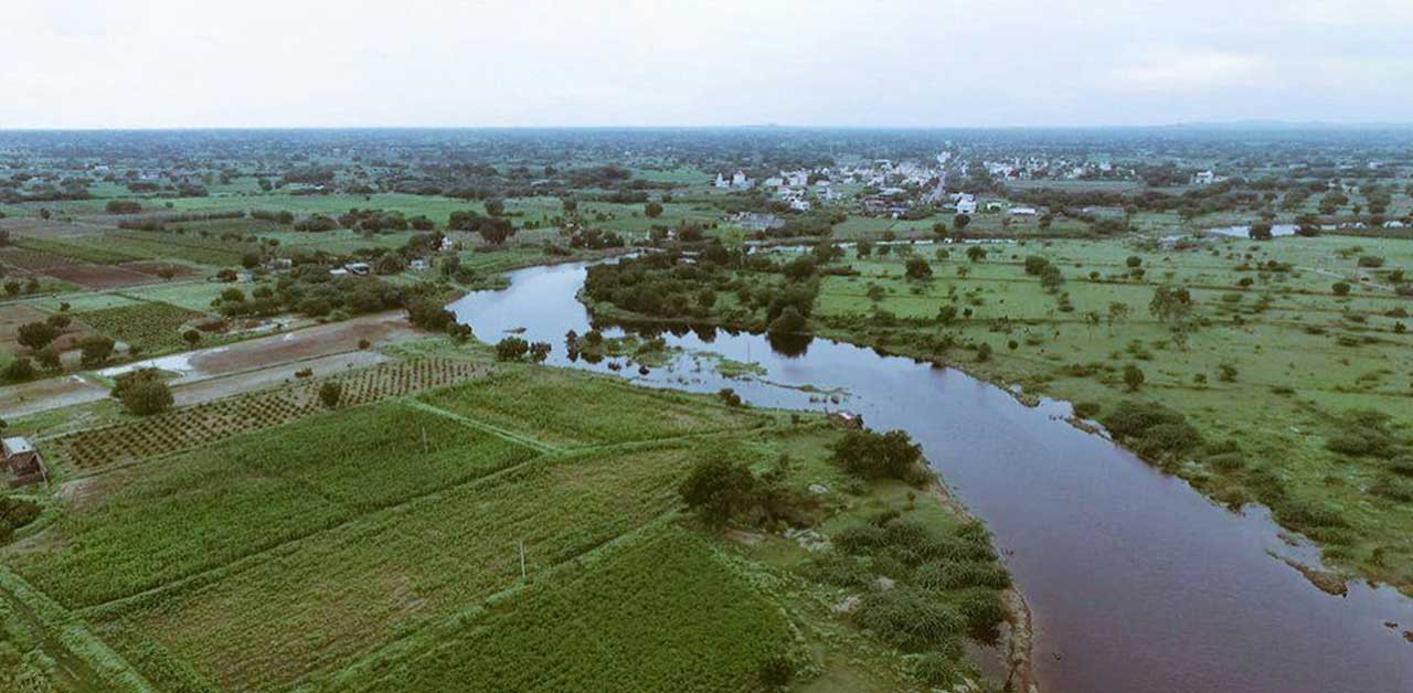
Geospatial technologies play a crucial role in river rejuvenation projects across India
1. Satellite Imagery and Monitoring: Geospatial technologies, including satellite imagery, allow us to track and monitor river rejuvenation projects effectively. By analyzing satellite data, we can identify issues such as deforestation, natural groundwater recharge mechanisms, and changes in river flow patterns. This information helps decision-makers take timely measures to enhance river health and mitigate environmental challenges. Precision Farming and Water Conservation: AI and ML: Satellite imagery assists in detecting water requirements by analyzing soil moisture content. Farmers can optimize water flow for irrigation based on real-time data. IoTs (Internet of Things): Ground-based sensors collect precise readings for smart water management. Smart water meters at the household level help monitor usage and identify areas of high wastage. Robotics: Autonomous farm equipment ensures efficient water distribution and reduces waste. Challenges and Solutions: Technological Barriers: Access to expertise (IT professionals, geologists, hydrologists) is essential. Sometimes, technology access itself becomes a barrier. Reducing Access Barriers: Make national-level raster datasets accessible to all. Foster public-private partnerships for raster analytics portals. Simplify technology use and leverage cloud solutions for affordability. Aim for panchayat-level access to benefit all farmers in an area.
Read more
- Aug 02, 2024
Geohazard Mapping: Enhancing Safety with LiDAR, InSAR, and Multispectral Imaging
Imagine having the ability to predict landslides before they occur or precisely identify flood-prone areas. This isn’t science fiction; it’s the remarkable power of advanced geohazard mapping. Remote Sensing Technologies: A Game Changer Landslide Susceptibility: By detecting subtle ground movements over time, we can assess the likelihood of landslides. Flood Risk Assessment: High-resolution digital elevation models allow us to evaluate flood risks accurately. Seismic Vulnerability: Identifying structures at risk in earthquake-prone regions helps enhance safety. Coastal Erosion Monitoring: With millimeter precision, we track changes along shorelines. The Challenge: Bridging the Gap Translating these cutting-edge capabilities into actionable insights for decision-makers remains a challenge. Many innovative geospatial firms struggle to convey the true value of their solutions to those who need them most. SPAGEO’s Mission At SPAGEO, we’re passionate about bridging this gap. We assist remote sensing pioneers in crafting compelling narratives that resonate with both technical experts and policymakers. By emphasizing real-world applications and potential impact, we ensure that geohazard mapping technologies not only collect data but also save lives and protect communities.
Read more
- Jun 02, 2023
Why manned aerial LiDAR surveys may be preferred over UAV LiDAR surveys:
Large-scale mapping projects: Manned aerial LiDAR surveys are typically more efficient and cost-effective for large-scale mapping projects that require wide coverage over extensive areas. Manned aircraft can cover larger areas in a shorter amount of time compared to UAVs, making them well-suited for regional or country-wide mapping projects. High accuracy and resolution requirements: Manned aerial LiDAR surveys often use specialized, high-precision LiDAR sensors that can provide very accurate and high-resolution data. This can be critical for applications such as engineering and infrastructure projects that require high accuracy for precise measurements. Challenging environments: Manned aerial LiDAR surveys are better equipped to handle challenging environments such as dense forests, mountainous terrains, or remote areas where access may be difficult for UAVs. Manned aircraft can fly at higher altitudes and endure longer flight times, making them more suitable for capturing data in such environments. Safety and regulatory considerations: Manned aerial LiDAR surveys are conducted by trained pilots who follow established aviation regulations and safety protocols, which can help minimize risks and ensure safe operations. Obtaining necessary permits and permissions for manned aerial LiDAR surveys may also be relatively straightforward, as manned aircraft operations are subject to different regulations compared to UAVs. Consistency and reliability: Manned aerial LiDAR surveys can provide consistent and reliable data, as they are not affected by factors such as battery life or weather conditions, which can impact UAV operations. Manned aircraft can also carry redundant equipment, backup power supplies, and experienced operators to ensure data collection proceeds smoothly. It's important to note that the preference for manned aerial LiDAR over UAV LiDAR depends on the specific requirements of the project, budget, timeline, and other factors. UAV LiDAR surveys can also offer advantages in certain situations, such as smaller-scale projects, localized mapping, or applications where flexibility, maneuverability, and lower costs are more important factors.
Read more
- Jan 01, 1970
Innovations in Geospatial Industry
Read more
- Nov 23, 2022
Creating LOD2.3 from Pictometry
Bing Maps was one of the first mapping services on the web to offer oblique 45-degree angle aerial imagery, also known as Bird’s Eye. Bing Maps is still as committed as ever to offering fresh high-resolution satellite and aerial imagery. Over the last 12 months we’ve been busy releasing refreshed and expanded Bird’s Eye imagery and we want to make sure our customers and users are aware of the progress we’ve been making. In this effort, we’re excited to say we’ve released approximately 102,000 square kilometers of new Bird’s Eye imagery spanning 100+ cities in the United States over the last several months with more to come. Bird’s Eye is a great complement to ortho (top down) imagery because it has much more depth and provides all four angled views of your destination or area of interest. This Bird’s Eye imagery is sub-10 CM GSD (ground sample distance), which allows us to support more detailed levels of map zoom. Bird’s Eye is available in the Bing Maps Web Control and Bing Maps REST Imagery API, allowing you multiple ways to offer this rich set of aerial imagery to your customers and users. Bird’s Eye imagery is also featured at Bing.com/maps. Content Copyright : https://blogs.bing.com/maps/2019-07/we-ve-released-new-birds-eye-imagery
Read more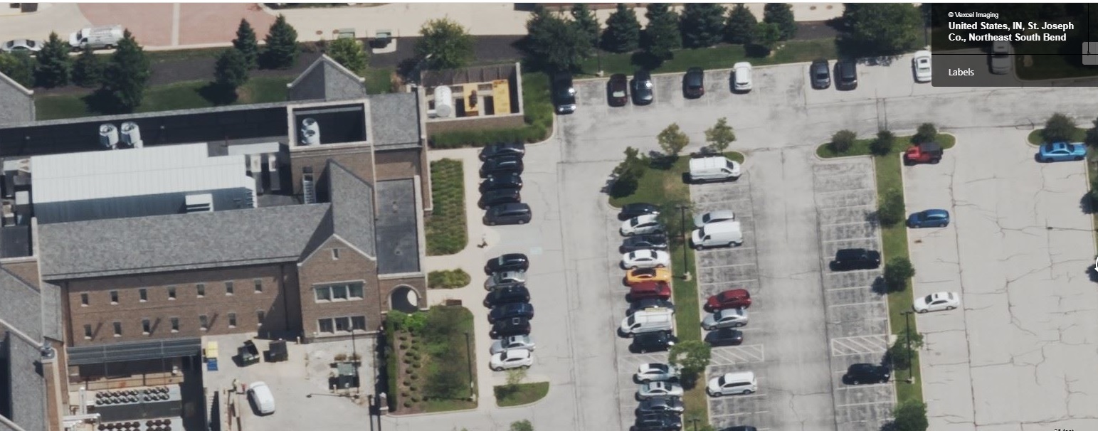
- Jan 29, 2022

- Jun 12, 2020
Smart Cities: 6 characteristics to look for in a GIS platform
Is your city considering or in the process of becoming a Smart City? Go through this checklist to know the 6 essential capabilities that a GIS technology platform must have to help your city make a smart transition.
Read more
- Jun 12, 2020
Advanced GIS analysis can help solve many challenges
The variety of domains to which GIS can be applied is limitless. GIS specialists have developed specific tools and methods that aid in expanding the use of GIS beyond the traditional desktop environment. These tools aid in carrying out advanced GIS analysis such as proximity analysis, network analysis, hill-shading analysis, viewshed analysis, density analysis, hydrological analysis, surface analysis, etc.
Read more
- Jun 11, 2020
How IoT enabled smart water meters help in water conservation
70% of the World’s land is covered with water still some 1.1 billion people worldwide lack access to clean drinking water. However, with the increasing population, water use has been growing globally at more than twice the rate of population increase in the last century, and an increasing number of regions are reaching the limit at which water services can be sustainably delivered, especially in arid regions.
Read moreSpa Geo is one of the best GeoSpatial solutions and service provider. We help business, utilities, government with their organization's geospatial issues & opportunities.
- Need Help? Call us now:
- +91-120-4996793
Useful links
News
Mar 01, 2024
Launching Agriculture Drones
Mar 02, 2020
Strategic Partnership with VertiGIS for GIS and Telecom products